Studying the local hydrological system at Scott Turnerbreen
9 December 2025 - Writer: Marjolaine Verret, The University Centre in Svalbard
This summer, our team—composed of Professor Andy Hodson, master’s intern Justine Mommer, postdoctoral researcher Marjolaine Verret, and a few dedicated field assistants—visited the Scott Turnerbreen forefield site on a weekly basis. The site lies at the head of Bolterdalen, a valley in central Spitsbergen, Svalbard. Our main objective was to study the local hydrological system. A groundwater spring emerging from the recently deglaciated forefield makes Scott Turnerbreen particularly interesting. The spring flows independently for several hundred meters before merging with the main glacier river, giving a unique opportunity to study both groundwater and glacial meltwater separately.
Each field day involved a 16 km round trip from the road’s end. Equipped with heavy backpacks full of instruments and a rifle for mandatory polar bear protection, we set off across Bolterdalen. Although this valley is a known migratory route for polar bears, our only encounters this summer were peacefully grazing reindeer. The most challenging part of the hike was crossing the river draining Rieperbreen, a neighboring glacier to Scott Turnerbreen. In practice, the journey was divided into three phases:
- 4 km across tundra—soft and waterlogged but frequented by reindeer.
- 1 km along riverbed—where stepping into ice-cold meltwater reminded us just how frigid glacier runoff can be.
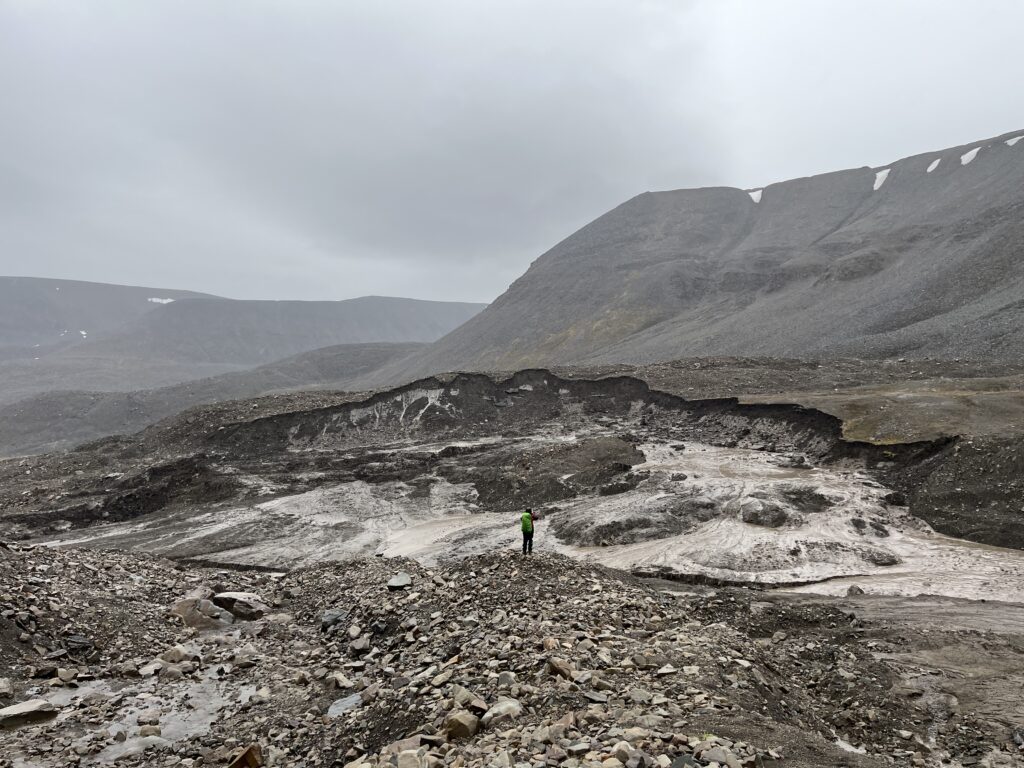
- 3 km of moraine terrain—this year was complicated by the development of retrogressive thaw slumps, forcing us to adjust our route. These shifts were a striking reminder of how dynamic recently deglaciated landscapes are.
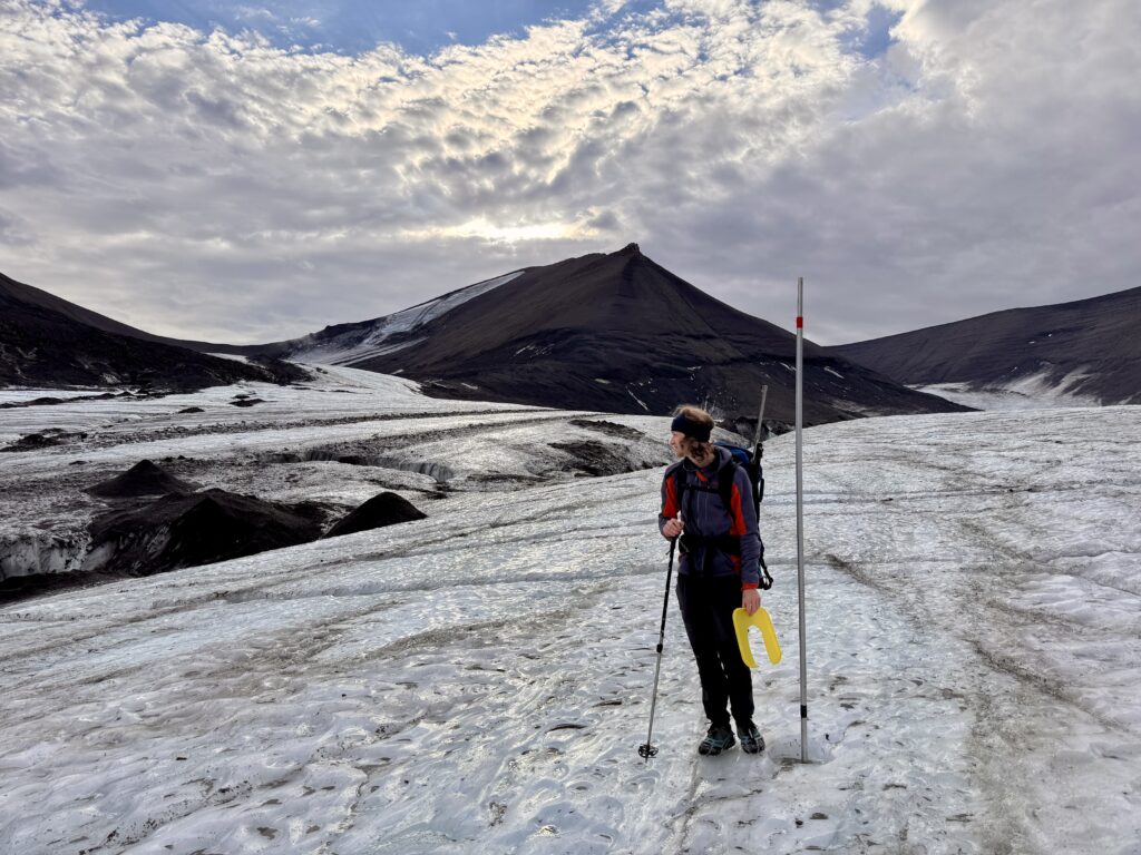
At the start of the melt season in June, we installed a monitoring station at the groundwater spring, along with two stations downstream where the spring joins the glacier river. These stations (maintained during our weekly visits) recorded conductivity, pressure, temperature, turbidity, and other parameters on an hourly basis. On warm or rainy days, we often found ourselves hoping that our instruments would withstand the rising flows. Indeed, the stations required rebuilding several times during peak discharge, but they ultimately survived and captured the hydrograph across the season. In addition, we conducted discharge measurements using the salt dilution method, collected water and gas samples to study nutrient and gas dynamics in the forefield system, along with maintaining our meteorological station and taking rain samples.
As the season progressed and the routine maintenance of the site was under control, we could branch out to other activities such as servicing our borehole recording ground temperatures, visiting the nearby lake to get a local understanding of the hydrology and measuring our ablation stakes on the glacier. Conducting fieldwork in our Svalbard backyard means seeing the site evolve and change with every outing. With winter setting in, it was time to dismantle our stations—closing the chapter on this year’s fieldwork and preparing for the season ahead.
The field season in numbers
- Milliliters of rain collected: 2684
- Sampling tubes/vials used: 382
- Kilometers hiked: >245
- Hours spent in the field: 137
- Days recording: 90
- Students visiting the site: 20
- Casualties: 1 hiking pole